NAUTICAL CHARTS

Category:

Description

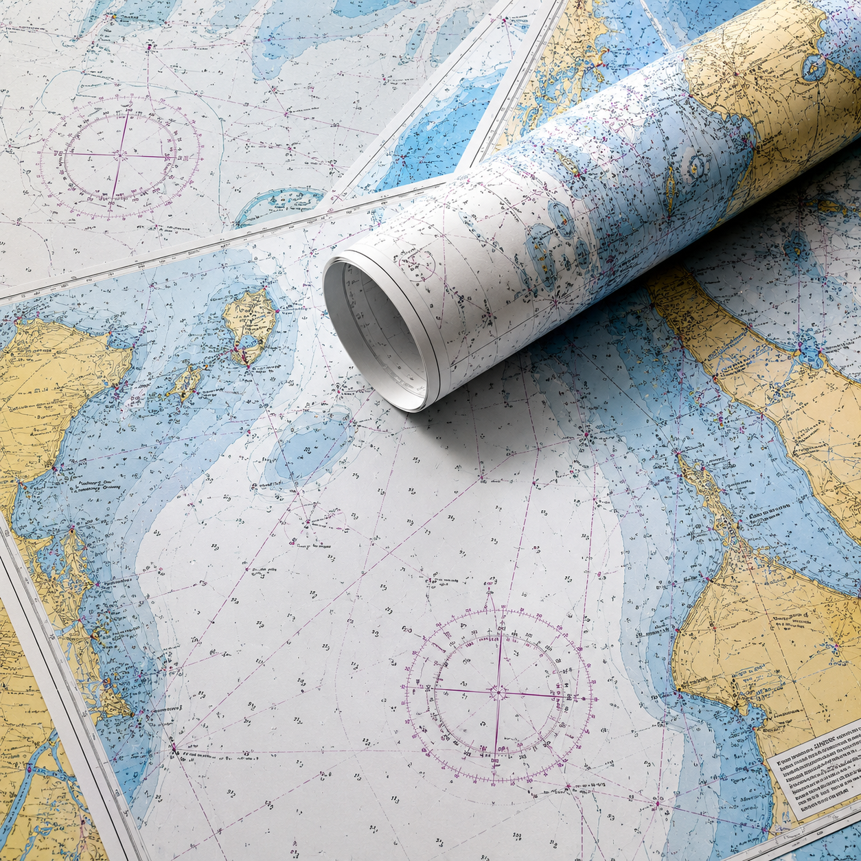
Nautical charts are detailed printed navigation maps designed to help mariners safely navigate coastal and offshore waters. They display essential information such as water depths, navigation aids, hazards, tidal data, and coastal features, making them an indispensable backup to electronic navigation systems. Trusted by recreational boaters, commercial operators, and sailors, paper charts remain a vital part of every vessel’s safety equipment.

Key Features

  • High-quality printed marine navigation charts.
  • Displays water depths, seabed contours, and coastal features.
  • Identifies buoys, beacons, lighthouses, and other navigation aids.
  • Highlights hazards including rocks, reefs, wrecks, and shoals.
  • Ideal for passage planning and safe navigation.
  • Reliable backup to electronic chartplotters and GPS systems.
  • Available for a wide range of coastal and offshore regions.
  • Essential for recreational, commercial, and offshore vessels.


Charts available:
  • SAN 1032 APPR TO RICHARDS BAY (321X2)
  • SAN 1033 RICHARDS BAY HARBOUR (321X3)
  • SAN 87 TUNGELARIVER TO PONTA DO OURA (321X01)
  • SAN 93 TABLE BAY TO EAST LONDON (321X50)
  • SAN 94 EAST LONDON TO RICHARDS BAY (321X51)
  • SAN 95 DURBAN TO INHUMBANE (321X11)
  • SAN SC 12 DURBAN TO RICHARDS BAY (321X56)